Met Éireann has extended the area of the country which will fall under its highest level of wind warning ahead of Storm Debi, which forecasters warned carries a “potential danger to life”.
Schools in parts of Ireland have been asked to delay opening, as the country prepares for winds of up to 130 kilometres per hour.
Weather warnings for the entire island were due to come into effect overnight due to the developing storm.
#StormDEBI UPDATE
⚠️Red Wind Warning⚠️
Dublin, Kildare, Laois, Louth, Meath, Offaly, Westmeath, and Wicklow, Clare, Galway, Kerry, Limerick, Roscommon, & Tipperary
Cork upgraded from Yellow to Orange
Details on impacts & times for your area⬇️https://t.co/1P0YPQeYTB pic.twitter.com/DBmOgD4LVJ— Met Éireann (@MetEireann) November 12, 2023
Advertisement
While a yellow warning applies to every county in Ireland from midnight until 3pm on Monday, the majority of people are also living in areas where a red warning applies due to the risk of “severe and damaging gusts” from Sunday night.
It comes after parts of the island were devastated by floods during intense rain from Storms Babet and Ciarán.
A status red wind warning will apply to Clare, Kerry, Limerick, Tipperary, east Galway, and south Roscommon between 2am and 5am.
As the storm tracks north east over the country, a separate status red warning will come into effect for Dublin, Kildare, Laois, Louth, Meath, Wicklow, Offaly, and Westmeath between 5am and 8am.
A status orange wind warning additionally applies to these counties as well as Longford, Cavan, Monaghan, Kilkenny, and Carlow from 2am until 10am.
A separate orange wind warning has been announced for between 1am and 4am for Cork.
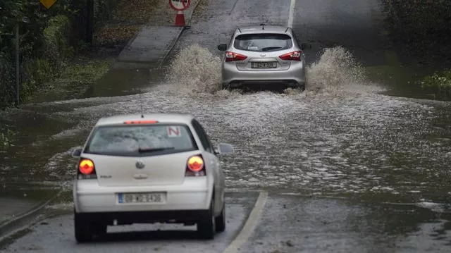
Met Éireann says it will be “very windy or stormy” due to Storm Debi across the country, with heavy rain and a chance of embedded thunderstorms and hail.
It warned there is a possibility of localised flooding, hazardous driving conditions and fallen trees.
Ireland’s National Emergency Co-ordination Group (NECG) advised schools and pre-schools in counties with red and orange warnings to remain closed until 10am on Monday.
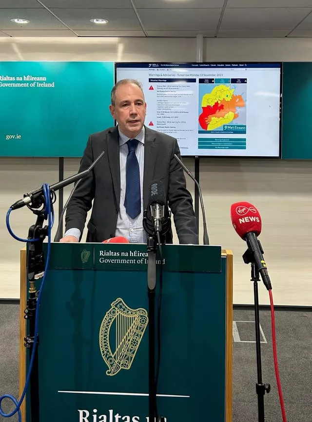
Speaking after a meeting of the group, director for emergency management Keith Leonard said schools have been asked to delay opening in parts of the country.
Mr Leonard said: “On the balance of risk and to ensure public safety, all schools and pre-schools are asked to remain closed until 10 o’clock tomorrow morning in the orange and the red areas.”
Mr Leonard, the national director for fire and emergency management, said local authorities and response agencies have been preparing for the storm over the weekend.
He advised people to stay away from coastal areas as conditions will be “extremely hazardous”.
He added: “People are advised to keep track of the Met Eireann weather forecast because those counties in red, orange could change at short notice.”
Mr Leonard said people should expect lengthy delays across public transport and delays at ports and airports.
He added: “Employers are asked to have some flexibility in relation to employees who have to travel to work tomorrow and if working from home is an option, that will be the preferred option for people tomorrow in the counties affected.”
Mr Leonard said road users should be aware of the “very hazardous and difficult conditions” on Monday.
He said there will be a substantial number of downed trees and other debris during the “serious winter storm with some dangerous features”.
“A very important message in relation to keeping your phone charged. There’s going to be extensive electricity outages tomorrow, and your mobile phone is your link to the emergency services.”
#StormDebi will bring very strong winds across parts of Northern Ireland, northern England and northern Wales on Monday 💨
Gusts could reach 70-80 mph over some coasts and high ground
Take care travelling and be #weatheraware pic.twitter.com/uRDVk4nZTc— Met Office (@metoffice) November 12, 2023
Met Éireann’s head forecaster said gusts of up 130 kilometres per hour are expected in the red areas.
“We can expect some disruption with travel, some infrastructural issues such as power cables coming down.”
Asked about issuing the initial red wind warnings 12 hours before they are due to come into effect, Eoin Sherlock said the current system is “very chaotic”, “fast evolving” and very difficult to predict.
“We did give people a heads up yesterday, there was an advisory.”
Various marine advisories also apply to coastal waters, including a red warning for westerly winds reaching violent storm force 11 between 2am and 5am from Valentia to Loop Head to Slyne Head.
The UK Met Office has also issued a yellow wind and rain warning for all of Northern Ireland on Monday, while an amber warning applies in the south east of the region around Newry and Downpatrick.
It said heavy rain and strong winds may bring disruption and flooding to parts of the region.
It will be a very wet and windy start to Monday as #StormDebi crosses Northern Ireland and northern England
Take care and stay #weatheraware pic.twitter.com/OSBxzgod8X— Met Office (@metoffice) November 12, 2023
It advised people to be aware that homes and businesses could be flooded and there could be disruption to bus, rail and air travel.
The agency also warned that fast-flowing or deep floodwater and flying debris could cause a danger to life
Power cuts are also possible.
The yellow warning comes into effect at 3am on Monday and applies until 2pm, while the amber warning applies between 6am and midday.