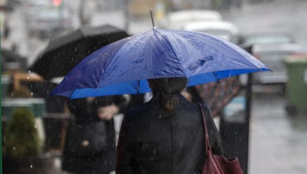
Met Éireann said following on from the warmest June on record for Ireland, July 2023 was the wettest July that has been recorded according to their provisional data.
Ireland had 217 per cent of its 1981-2010 Long term Average (LTA) rainfall in July 2023.
July 2023 also had more than four times the amount of rain observed in July 2022 and more than twice that observed in July 2021.
The previous wettest July was in 2009 with 202 per cent of the LTA.
Over the past 12 months, Ireland had its wettest October on record in 2022, its wettest March on record earlier this year and now its wettest July on record.
Seventeen primary weather stations have had over 200 per cent of their LTA, with twelve stations having their wettest July on record in 2023, included:
- Phoenix Park, Co Dublin (length 82 years) with 149.1 mm (271 per cent of its LTA)
- Shannon Airport, Co Clare (length 77 years) with 155.0 mm (235 per cent of its LTA)
- Malin Head, Co Donegal (length 68 years) with 192.6 mm (238 per cent of its LTA)
- Dunsany, Co Meath (length 59 years) with 184.5 mm (300 per cent of its LTA)
Knock Airport, Co Mayo observed 37 consecutive Rain Days (0.2 mm or more) ending on Sunday, July 23rd, 2023.
There was also up to 15 consecutive Wet Days (1.0 mm or more) at Dunsany, Co Meath, Malin Head, Co Donegal (ended Sunday, July 23rd) and Claremorris, Co Mayo (ended Friday July, 7th).
Provisionally, the highest daily rainfall total of July 2023 from our 25 primary weather stations was 41.6 mm at Dunsany, Co Meath on Saturday 22nd, followed closely by 41.2 mm at Oak Park, Co Carlow on Monday 10th.
They said July 2023 saw Atlantic low pressure systems dominating in a mostly westerly or cyclonic airflow.
Ireland lay on the cooler northern side of the North Atlantic jet stream for most of the month, which was relatively strong for the time of year.
Numerous active weather fronts crossed the country along with periods of intense, sometimes thundery, convective rainfall.
While Ireland experienced low pressure and cool air masses, blocking high pressure dominated southern Europe, inhibiting cloud formation and allowing extreme heat to build up.
📈July 2023 was provisionally Ireland’s wettest July on record 🌧️
▶️217% of the 1981-2010 Long Term Average rainfall fell
▶️4 times more rain than July 2022
Find out more in our article 📰 https://t.co/cf7VRAlNvj https://t.co/gHSVcTufkV— Met Éireann (@MetEireann) August 1, 2023


